Regeneration and urban renewal of Mama Ngina Drive – the main public open space on Mombasa Island.
Mama Ngina Drive is located on the southeastern section of Mombasa Island and is a part of the greater Kilindini Waterfront. The area is popular among locals who come to enjoy food from the market stalls or the view of the ocean. The site is believed to be the foundation of Tchuaka town, an ancient city dated back to the 12th century. Later, during WWII, it was used as a defensive base for the Kilindini harbour, as evidenced by the various bunkers along the coastline, the gun deck, and existing defensive towers. Bordering the Mama Ngina Drive is the Likoni Channel Ferry Crossing, the main link between Mombasa Island and the North Coast on one side and the Southern Coast on the other.
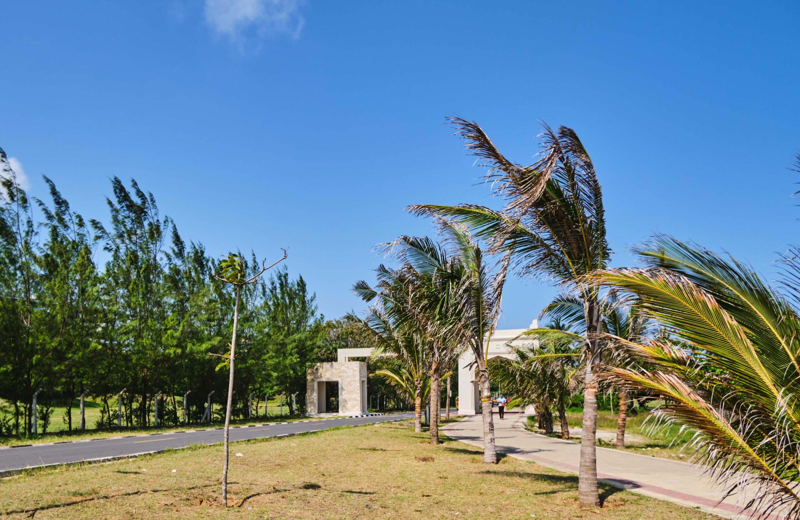
The design aims to create a waterfront of international standard for locals and tourists alike. The project includes the design and development of a 2-kilometer landscaped waterfront promenade, public open plazas and squares, a cultural centre, a 1000-seater amphitheatre, provision of public ablution blocks and shower facilities, and rehabilitation of the historic baobab park.
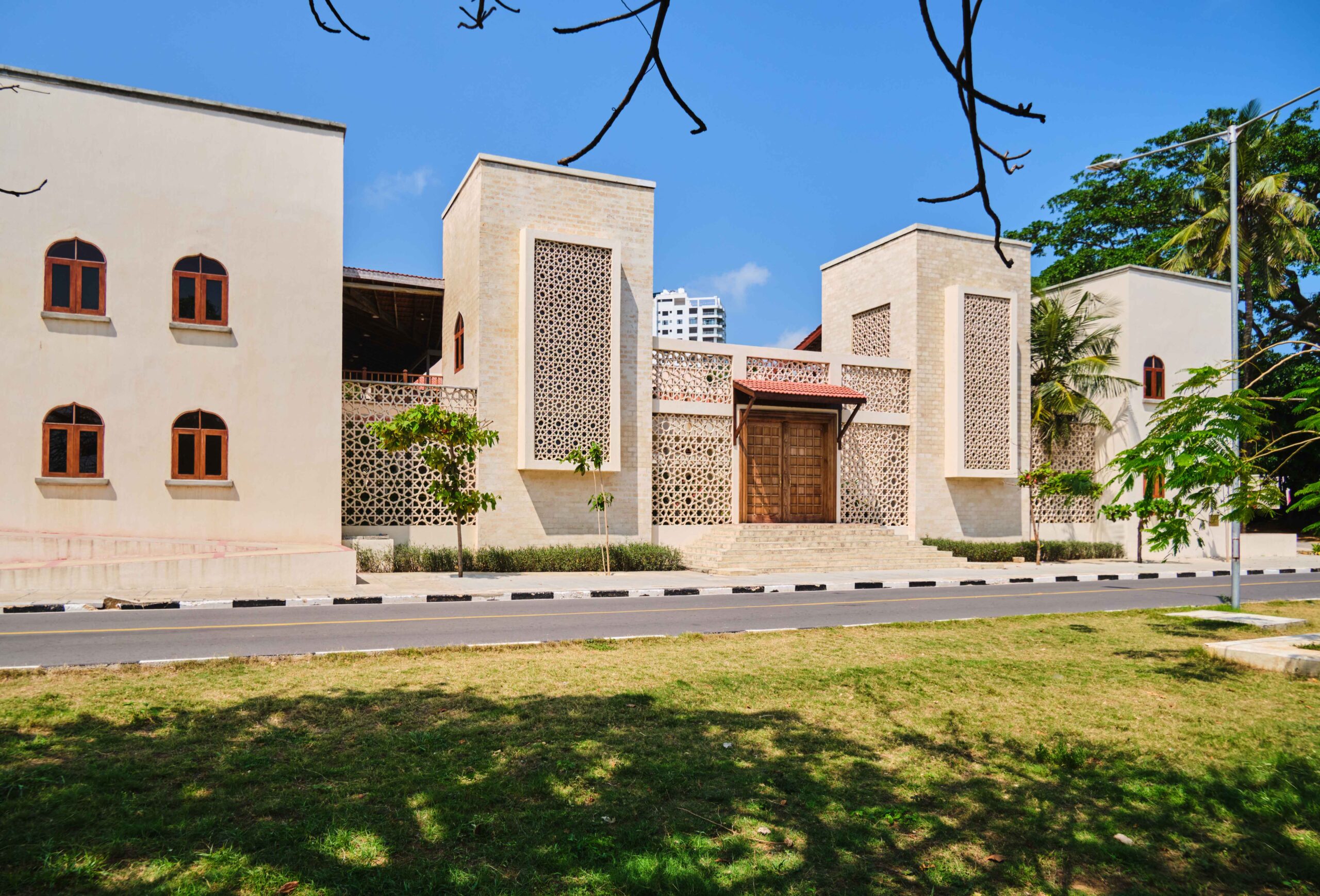
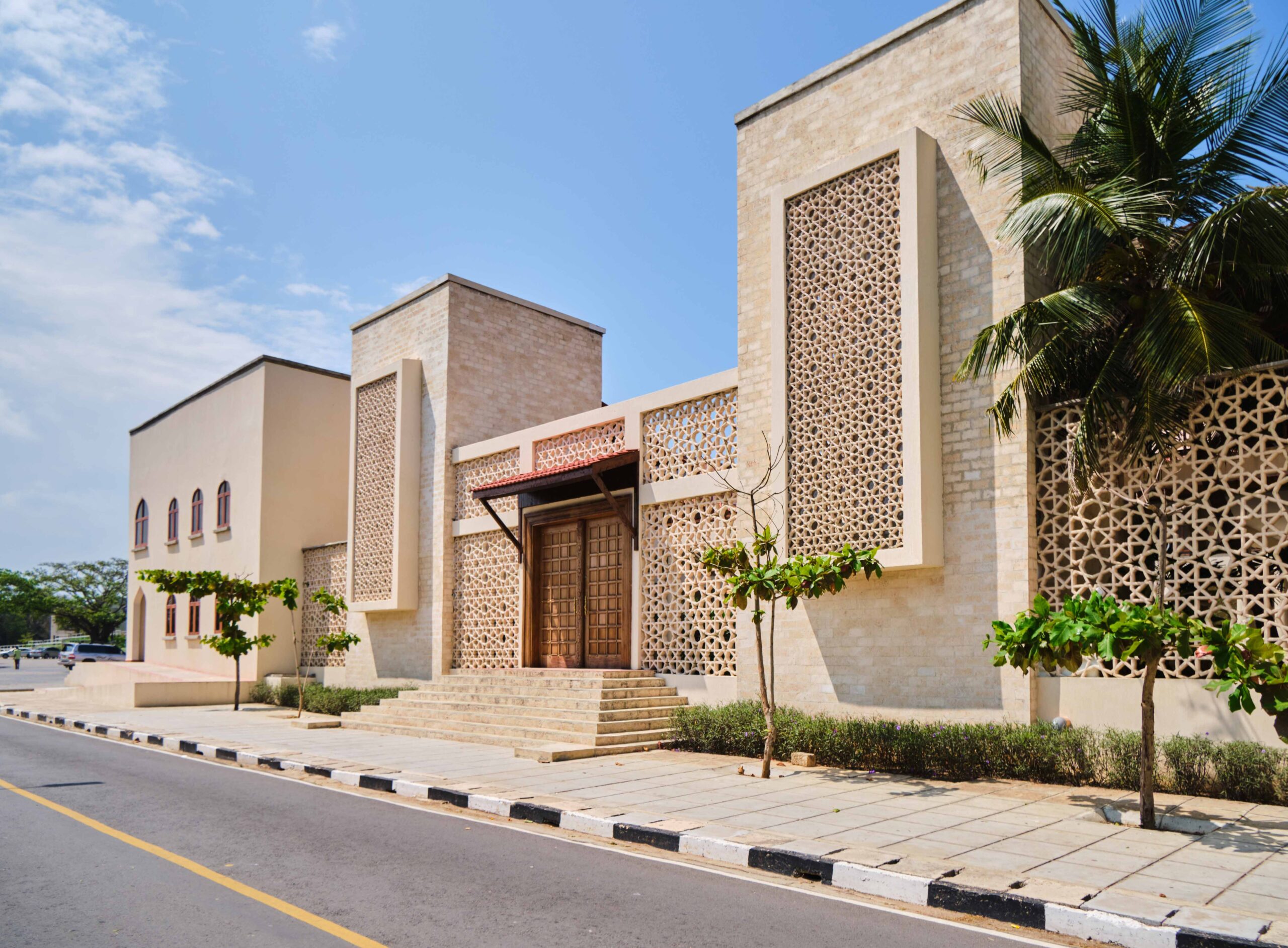
Monumental gateways mark the entrance to the area on both ends of the promenade, and along the waterfront traditional Swahili style pigeon towers work as focal points and create a sense of place. Market stalls and kiosks cater for small-scale businesses and food outlets.
Throughout the area, the design of buildings and landscape respects the order and vernacular of traditional Swahili style architecture.
The park is the first public landscaped waterfront in Kenya. The project was designed and implemented by an international team of consultants led by PLANNING. The project was commissioned by H.E President Kenyatta on Mashujaa Day 2019.